Friday, August 24, 2012
August 24, 2012 - New Blogsite Notice
We have had to add a new blogsite due to capacity issues. Please go to cruisingonmonarchpart2.blogspot.com to keep up with the travels of Marty and Jerry on M/V Monarch.
Please note that this is not a link - you need to cut and past this address into your header.
Thursday, August 2, 2012
July 19 -21, 2012 - Slate Islands to CPR Slip
Our next stop is the Slate Islands, a group of eight islands about six miles in diameter, formed by the impact of a 19-mile-wide asteroid. The Slates are home to the largest herd of Woodland Caribou on Lake Superior. They were very shy, and we didn’t see them while there. Here is a link to MapQuest to show where these islands are - http://mapq.st/PstsWw
 As a provincial park, the islands serve the interests of recreational boaters and fishermen. There are a few fishing camps, including the Come and Rest dock, where the fishing tug Everett H was taking the night off.
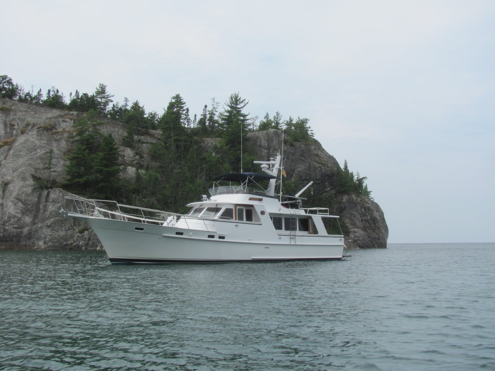
 We had a difficult time finding an anchorage, as the waters were extraordinarily deep throughout the archipelago. This island bisected the entrance to Pike Bay, which might have worked except it looked incredibly narrow – can you see the pass just to the right of the island?
 We opted for a spot with more room, and had a pleasant dinghy ride after getting the hook set. The mirror-calm night provided a gorgeous view of the shoreline.
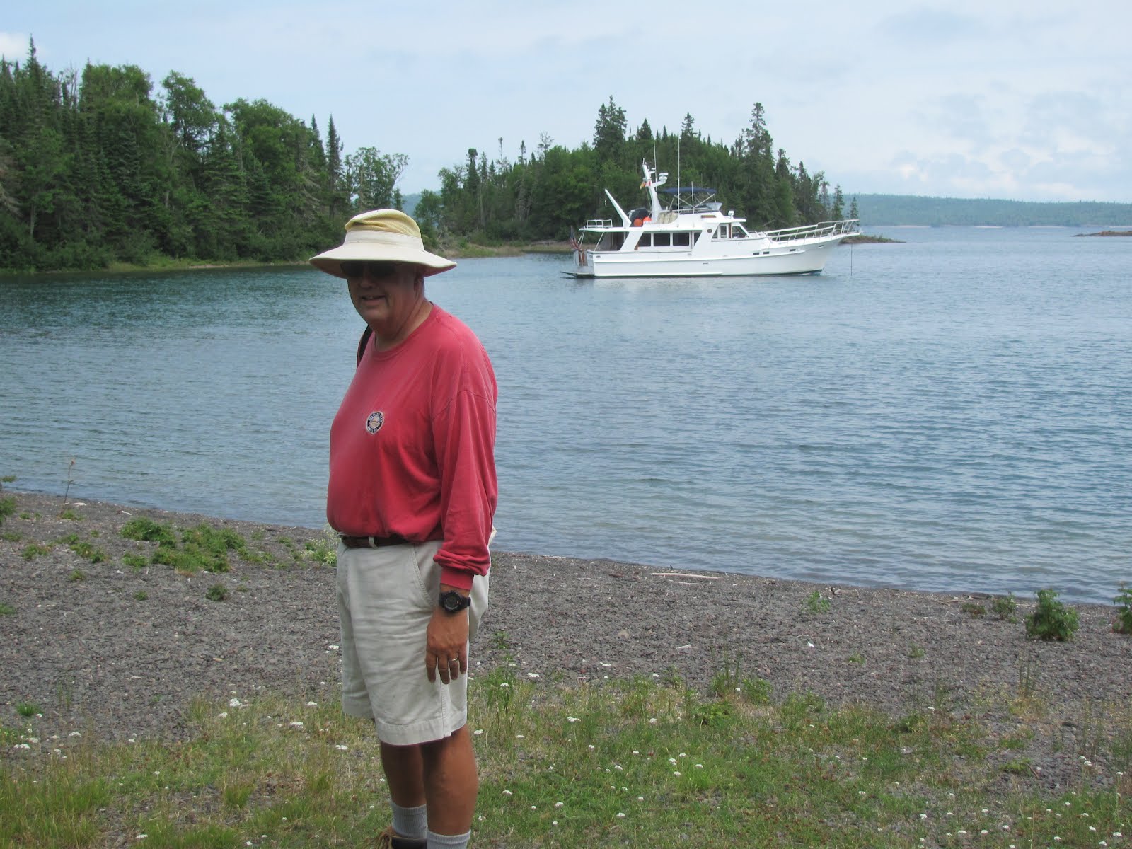
 Next stop is Battle Island, which gets its name from an Ojibwa skirmish during the Riel Rebellion in 1885. We anchored in the protected bay on the north side of the island, where the 15-feet deep water was so clear that we could still see (and retrieve) the screwdriver Jerry dropped overboard! A look at the charts tells us this will be the northernmost point of our entire Loop voyage, at 48°45.28' north latitude.
 We found a two-track road, which we followed for about ½ mile south to a lighthouse.
 The Battle Island Light was one of Ontario’s last manned lights to be automated, with no keepers needed since 1992. However, the last light keeper is still allowed to stay here from time to time, though was not in residence while we visited. Our new friend Jim from Thunder Bay told the story of one incredibly violent storm with waves so high that a huge log was washed though one of the lighthouse windows at the very top. The light is perched 118 feet high on the bluff!
 Some years ago, this antique pickup must have been the light keepers work truck, now covered with moss and mold.
 And along a smaller path, we found this child-size grave.
 The next morning upon departure, we got an even better view of the Battle Island Light.
 We had read about a perfect, tiny harbor called CPR Slip, on St. Ignace Island. In the early 1900s, this had been a Canadian-Pacific Railway fishing retreat for wealthy clients, after the harbor had been formed by removal of gravel for use in grain silos many years ago. (Here is a MapQuest link to see where this special spot is - the little hook and spit in the middle of the satellite photo is it - http://mapq.st/N1p3xp) Once we returned down the mountain, we met another couple from Red Rock, and enjoyed the evening around the fire pit.
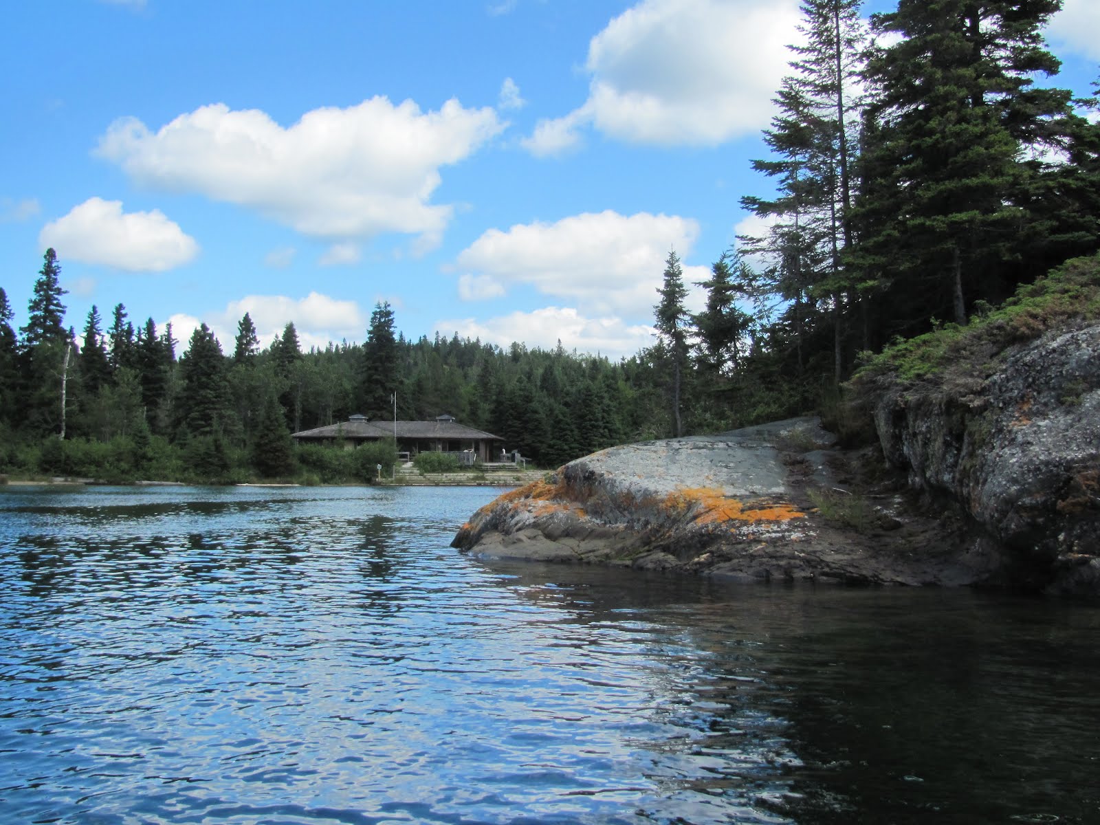
 Now CPR Slip and its 80 acres are privately owned by a Mr. Dougal from Thunder Bay. He allows locals and visitors to use the docks and property, with volunteer assistance of boaters from nearby Nipigon and Red Rock. This group of locals has built a sauna (pictured) and a community room, and maintains the property. One couple, Helgie and Judy Swanson of Red Rock, their steel boat Follow and their dog Knute are volunteer harbor hosts for most of the summer. Helgie, a hospitable Swede, came out to meet us in his rowboat, to guide us into the impossibly narrow entrance, with the channel just 9 feet off shore. We were glad to have the local knowledge and good companionship of the Swansons.
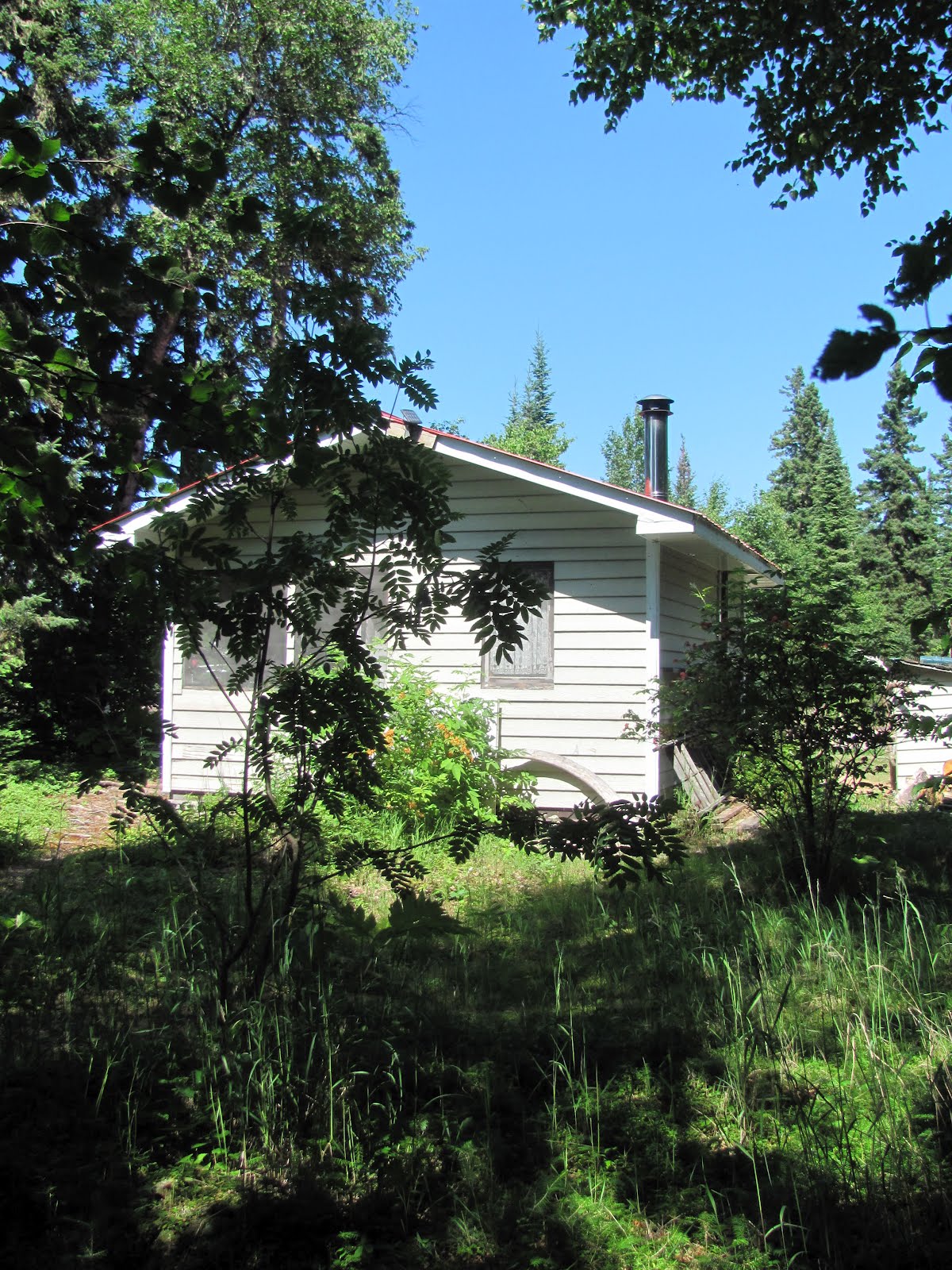
 The facilities are basic.
 We spotted the Canadian flag high on a bluff, and inquired about it. Helgie has cleared a trail to the top of the bluff, installed a flagpole, and directed us to the hour-long hike.
 The start of the trail is through an enchanted forest.
 Then, the trail steepens. No stairways here, but Helgie has installed a series of ropes with which to pull oneself up the vertical, gravel-strewn embankments.
 The difficult hike was well worth the effort as we emerged upon the most extraordinary view, known locally as Harling Skorgard, which means beautiful islands in Swedish.
 At the top is a guest book in a weatherproof stand. We signed in, and enjoyed reading about others who had visited this special place before us.
 Way down below, we saw another boat arriving, with Helgie showing them the way into the Harbor. You can barely see Monarch secure in her slip.
 Once we returned down the mountain, we met another couple from Red Rock, and enjoyed the evening around the fire pit.


Thursday, July 26, 2012
July 18, 2012 - Otter Head, Ontario


Wednesday, July 25, 2012
July 13 - 15, 2012 - Into Lake Superior


Subscribe to:
Posts (Atom)